
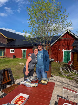
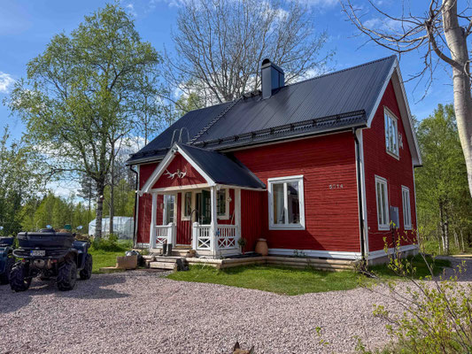
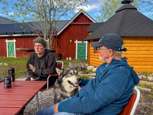
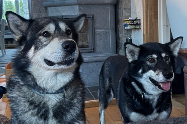
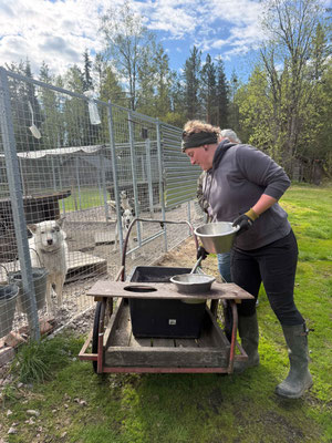
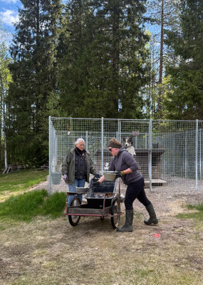
Before continuing on to the North Cape, we’re making a quick detour to Sweden to visit Carmen, a friend of our son Felix. She’s been living in Merasjärvi for 10 years and works as a sled dog musher and tour guide at a husky farm. At first, that sounds like a romantic dream of untouched nature, glistening snow, and a pack of loyal dogs. However, everyday life is shaped by a strict daily routine. Feeding time is at 8 a.m. and 5 p.m. The 40 dogs are already waiting eagerly, and their excitement can be heard from far away. Afterward, the enclosures must be cleaned, no matter the weather. In winter, the tourist tours are then prepared and the teams are harnessed. In the summer, from June through September, the dogs are practically out of work before they’re prepared for the new season with concentrated feed and training.
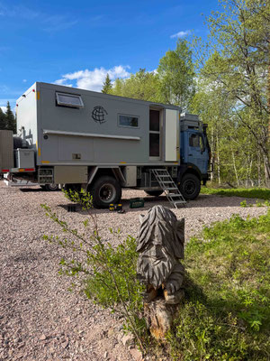
Carmen also offers year-round opportunities to work as a “working guest” and has a few RV spots in front of the house available for a fee. Anyone interested in working at a husky farm should be physically fit and able to handle stress. During the winter months, it’s not uncommon to work in temperatures ranging from -20 °C to -40 °C. If you’re interested, here’s how to contact Carmen: Link to the homepage
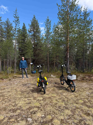
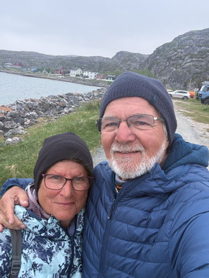
We’re staying with Carmen for two days and going on a short bike ride in the area. Thanks again for your hospitality and the wonderful time we had with you and your parents.
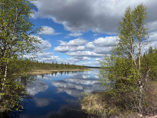
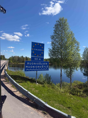
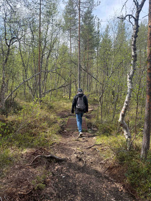
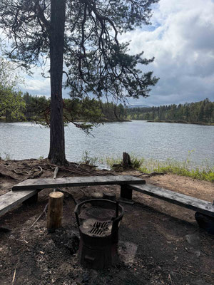
Now it’s time to head back to Finland. But first, we fill up the tank right before the border, saving 0.40 cents per liter. On the way to Lake Inari, we drive through endless forests and spend the night in the Iljesjervie ski resort and at the hiking parking lot of Lemmenjoki National Park, where we take a beautiful hike along the river.
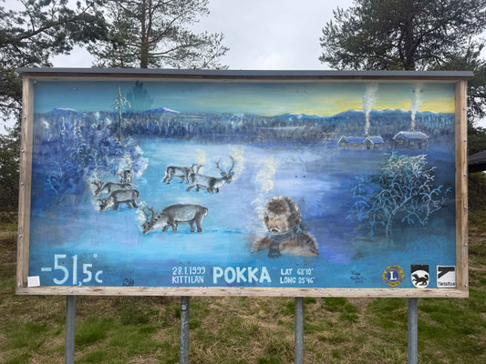
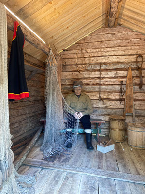
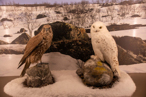
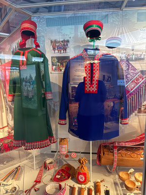
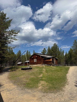
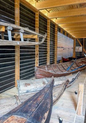
In Inari, we visit the Sámi Museum. It’s considered one of Lapland’s most important cultural centers and is the national museum of the Finnish Sámi. In 2024, it was even named European Museum of the Year. The main exhibition shows how closely the Sámi people’s lives, identity, and traditions are intertwined with the Arctic seasons and the rugged natural environment. The nature section is dedicated to the flora and fauna of the North, the formation of the landscape since the last Ice Age, and the current challenges posed by climate change. And on an outdoor grounds spanning about seven hectares, you can explore some 50 historic buildings and structures.
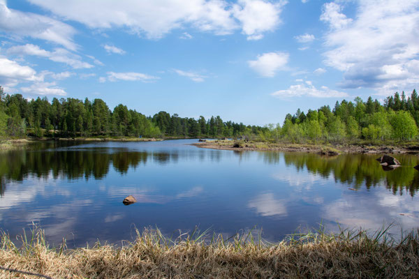
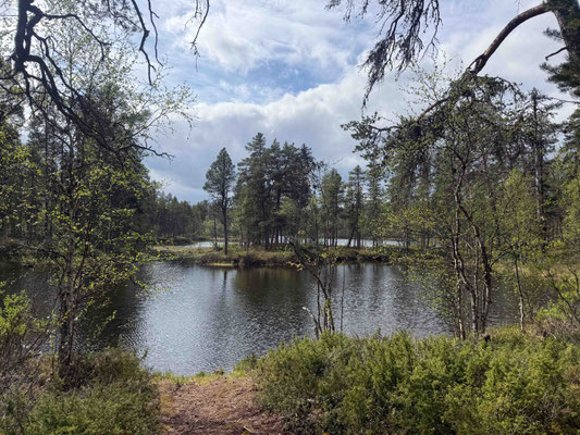

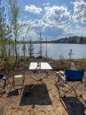
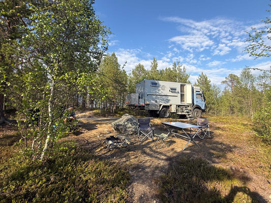
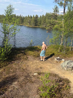
It’s really hot today at 26 degrees, and the sun is shining 24 hours a day from a steel-blue sky. So, of course, we have to set up camp by a lake, complete with a refreshing dip in the cool water and an Aperol Spritz to go with it. The first mosquitoes have shown up, too.
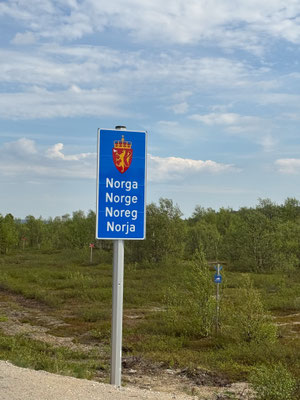
Shortly after that, we cross the border into Norway. There’s no longer a passport control, but there is a customs check. With foresight, we’d already declared the alcohol we were carrying via an app for 37 euros and showed the customs officer the receipt. He was pleased and decided not to conduct a more thorough search of the vehicle.
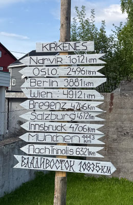
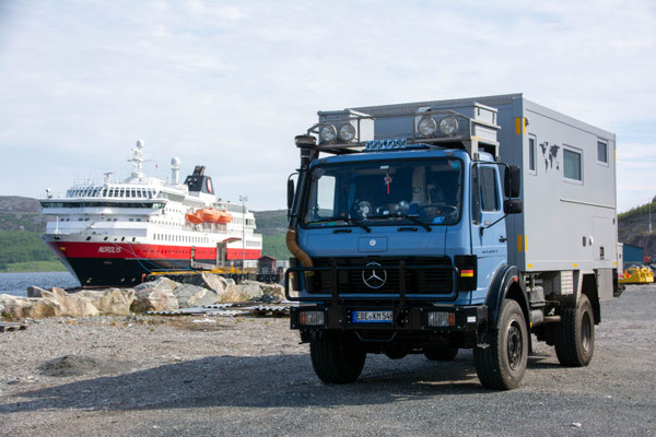
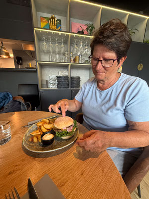
Kirkenes is the turning point for the Hurtigruten ships and the last major city before the Russian border. We take a stroll through the center, but there isn’t much to see there, so we enjoy the summer weather on the terrace of a café. In the evening, we try reindeer burgers. After glancing at the drink menu, we’re happy to skip alcohol with our meal. A 0.5-liter Erdinger wheat beer for 17 euros was a bit too much after all.
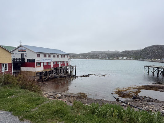
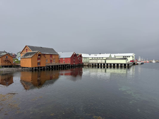
We now follow the E6 along the fjord and drive along a side road through barren rocky landscapes to the small, idyllic fishing village of Bugøynes. The village was on the verge of extinction in the late 1980s following the collapse of the local fishing industry. It was ultimately saved by the giant king crab that had migrated from Russia. How the crab came to have a permanent “visa” is not recorded. Today, the village is a global hub for the export of this delicacy, and of course, you can also enjoy it fresh off the boat. We opt for a salad platter with king crab meat, accompanied by fish soup. We spend a very peaceful night at the harbor with a view of the sea.
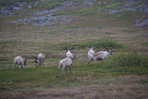
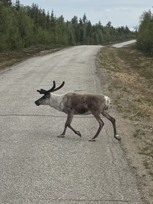
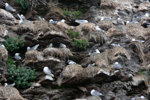
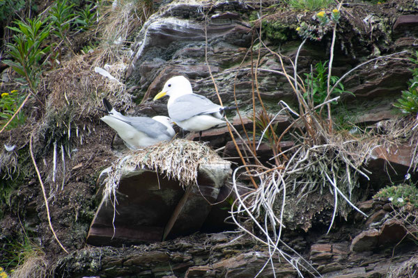
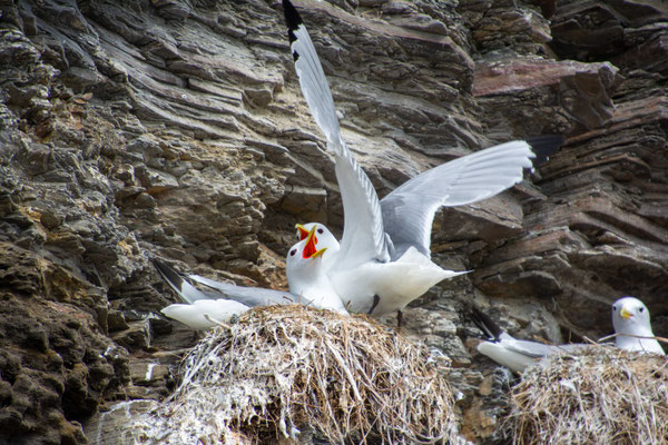
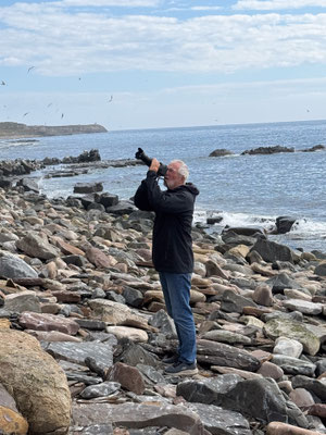
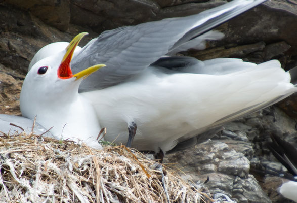
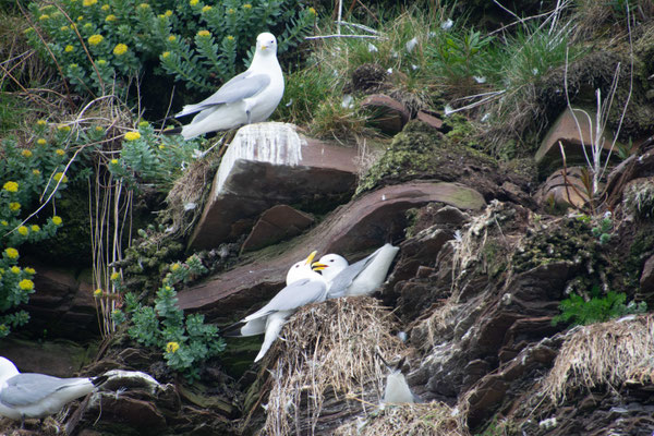
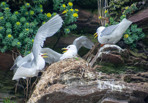
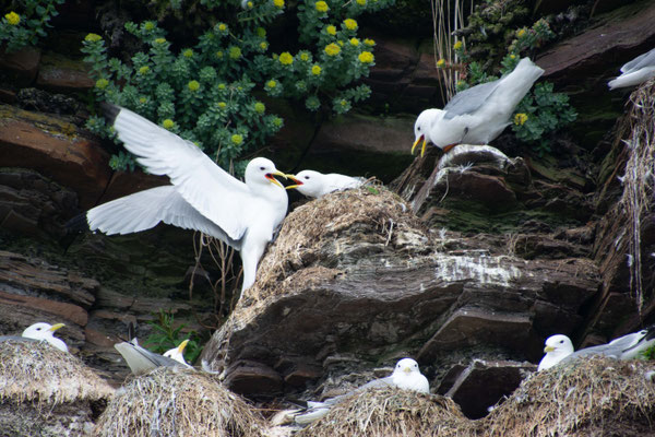
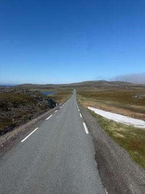
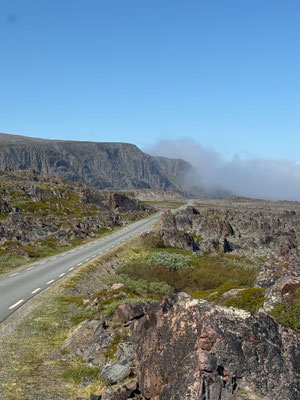
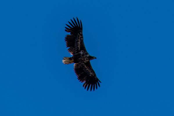
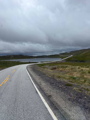
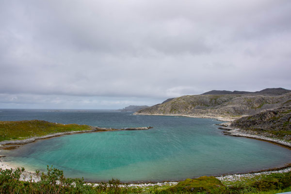
The drive continues on the E6 until we turn onto the 75, the official Norwegian Scenic Route Varanger. Beyond Vadsø, the landscape changes dramatically. Trees disappear completely, and the road hugs the rugged coastline of the Barents Sea. A worthwhile stop is a short walk to the bird cliffs on the Eckeroy Peninsula. During the breeding season, there are around 40,000 three-toed gulls here. After the breeding season, the birds leave the cliffs and spend the entire winter out on the ocean. For months, they don’t set foot on land, sleeping on the water and hunting for fish there.

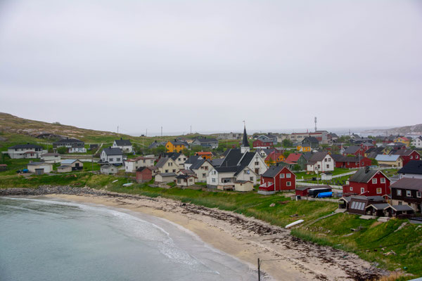
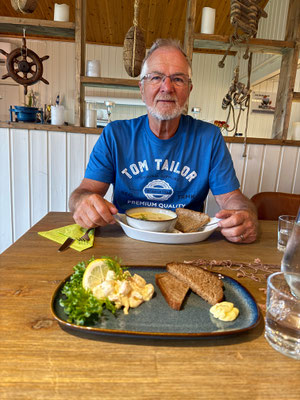
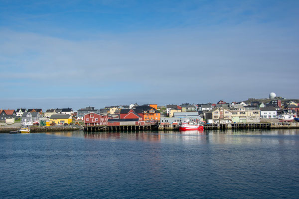
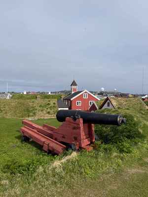
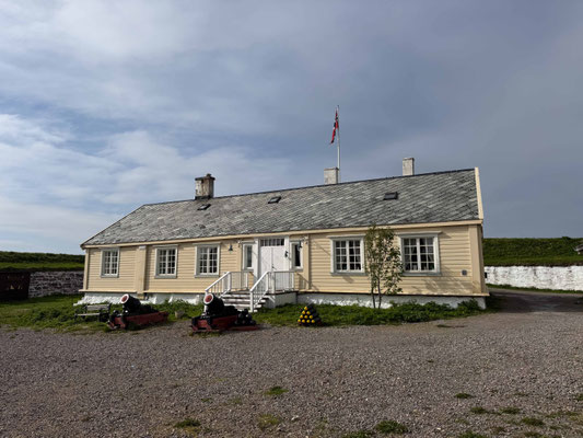
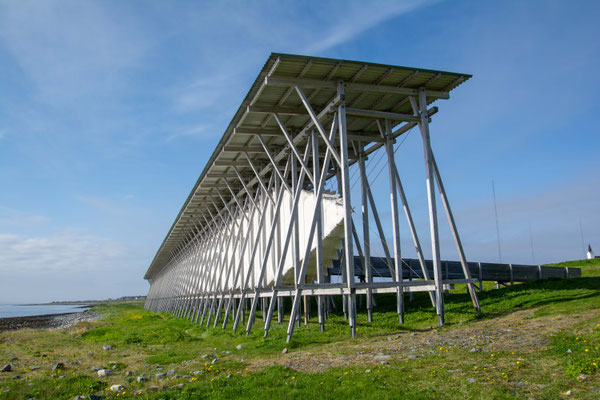
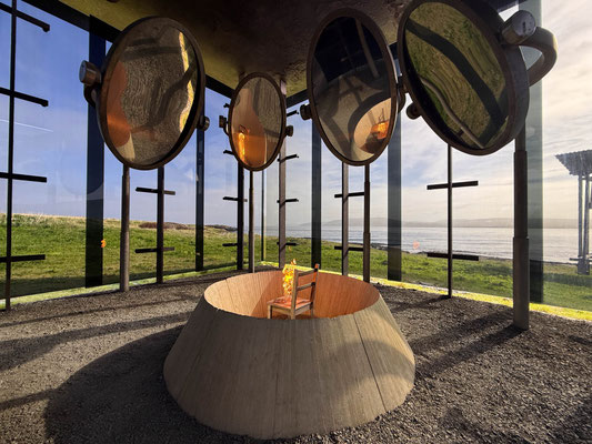
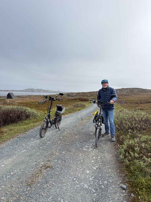
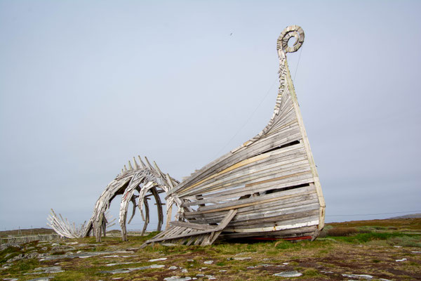
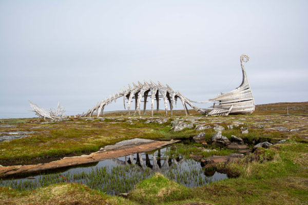
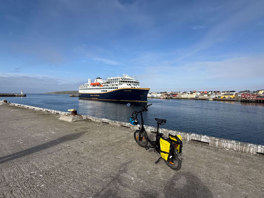
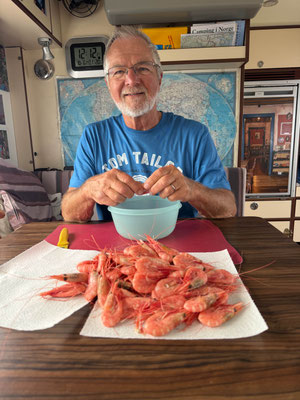
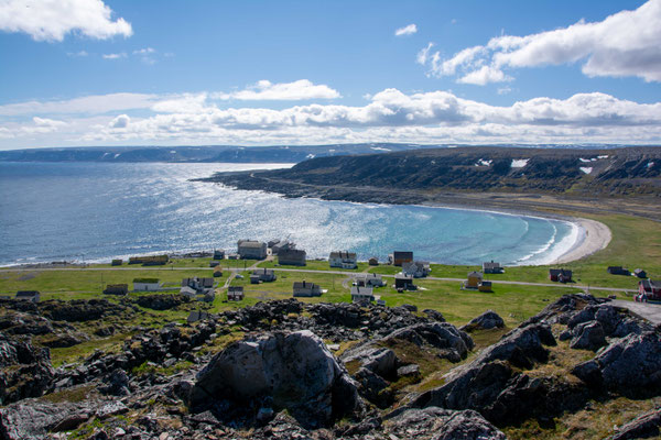
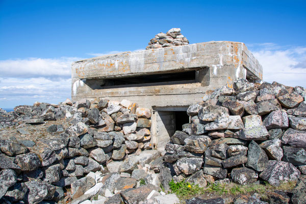
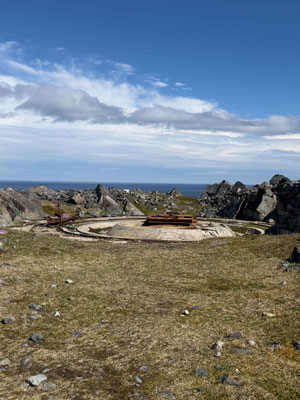
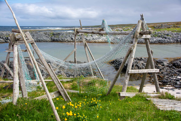
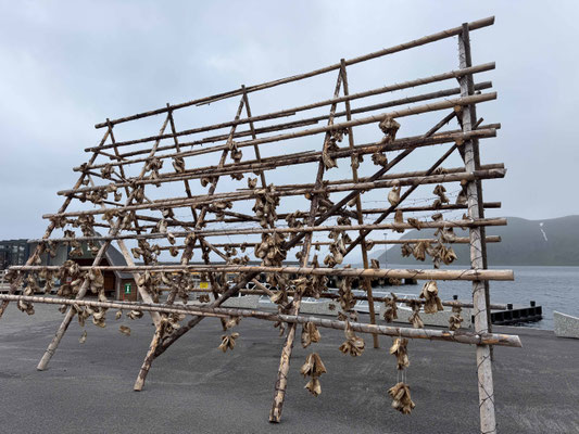
We arrive in the town of Vardø, which is located on an island and is accessible via Norway’s oldest underwater tunnel, which is 3 km long. Every day at 4:00 p.m., the Hurtigruten mail ship stops here, and for an hour, the small town is suddenly bustling with people visiting the old 18th-century fortress and the witch memorial, which commemorates the 17th-century witch hunts that claimed the lives of 91 women and men. We take a lovely bike ride to the lighthouse at the tip of the peninsula. On the way there, we pass a huge wooden sculpture (Drakkar Leviathan) that was erected there in the summer of 2016 by a Russian artist. The work depicts a Viking longship and a mythical sea monster, symbolizing the elemental forces of nature and the harsh life on the Arctic Ocean. The structure consists entirely of massive, artfully interwoven wooden beams. The local supermarket also has something to offer: fresh Arctic Ocean shrimp, which we use to prepare a delicious dinner.
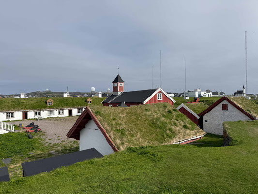
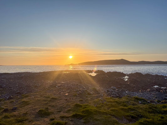
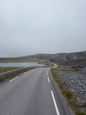
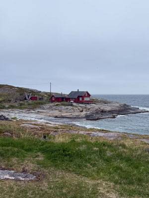
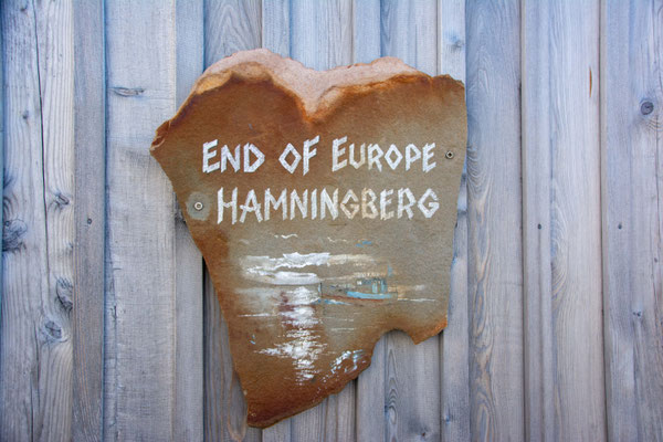
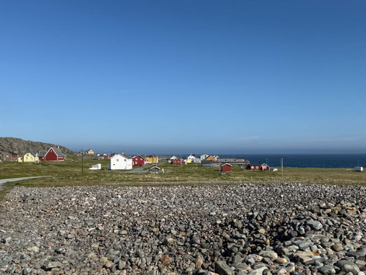
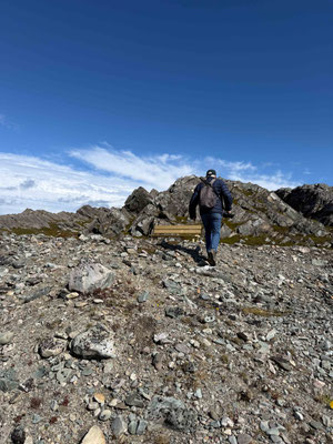
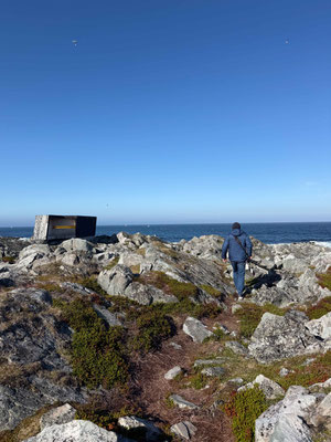
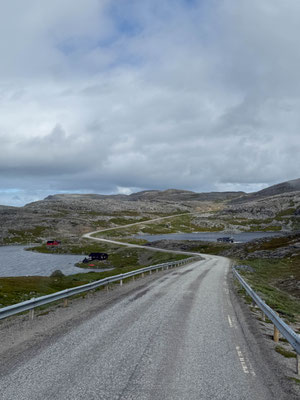
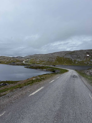
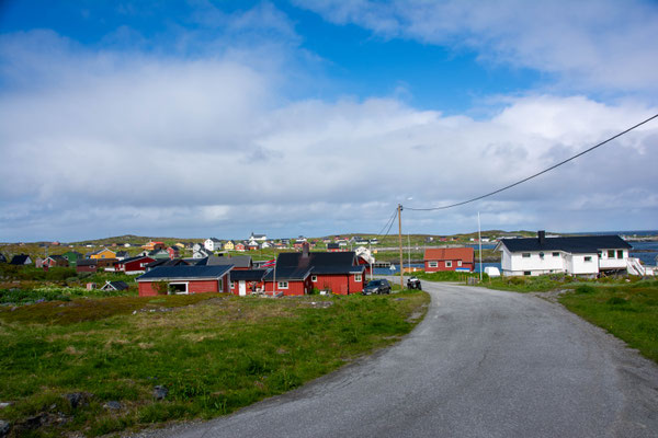
The journey continues from Vardø along a narrow, single-lane, spectacular road to Hamningberg. You drive right along the Arctic Ocean, passing through lunar-like Arctic landscapes, and after 36 km reach the abandoned fishing village—one of the few villages in Finnmark that was not burned down by the Germans during their retreat. The traditional 19th-century wooden houses still stand today and have been lovingly restored. In the summer, the village serves as a vacation home community and exudes a peaceful tranquility that we thoroughly enjoy for two days amid glorious sunshine and 16 degrees, interrupted only by a few short hikes in the surrounding area.
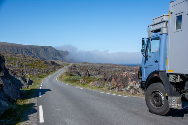
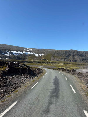
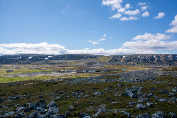
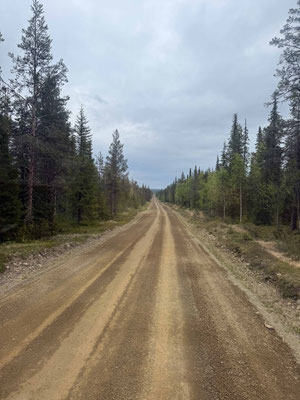
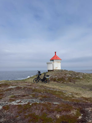
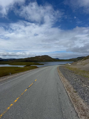
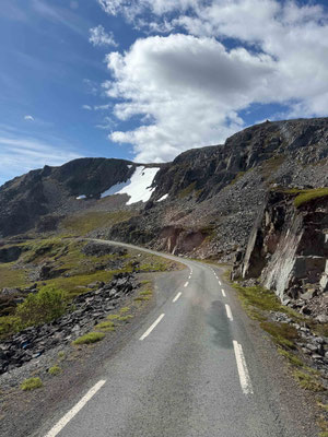
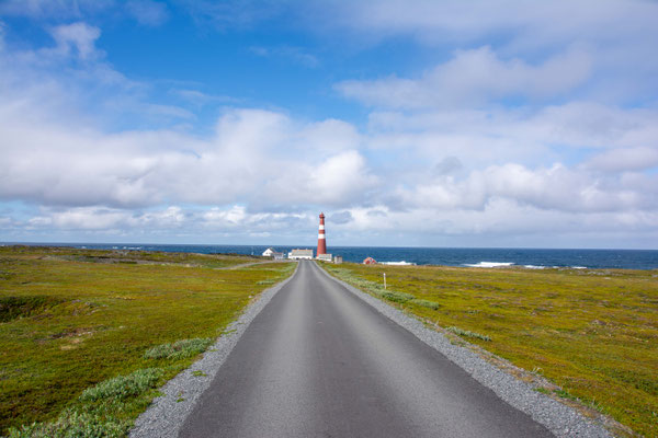
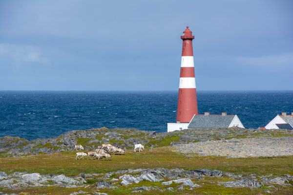
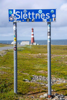
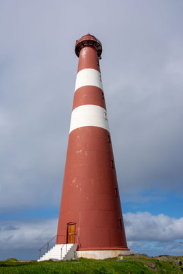
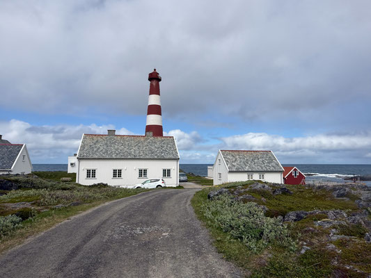
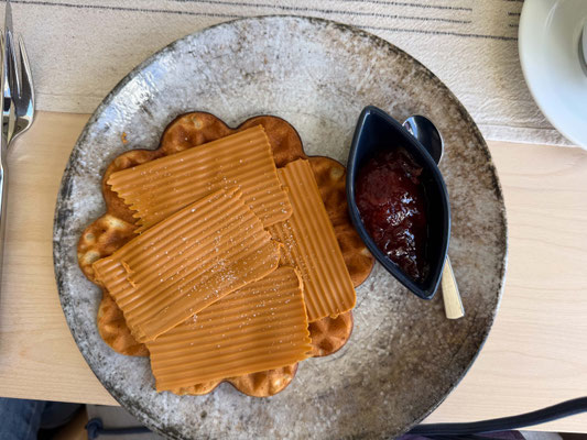
Now we head back along the same route along the fjord to the E6. The weather takes a turn for the worse, and it becomes cool and very windy. At Ifjord, we turn off the main route onto Route 888 and take our next 120-km detour to the Slettnes Fyr lighthouse in Gamvik. We drive across a barren, treeless plateau dotted with countless mountain lakes. The landscape resembles that of high mountains, but we’re actually at 300 meters above sea level. Remnants of snow still lie everywhere, and meltwater rushes down the rocky slopes. The temperature here almost never reaches double digits. Halfway through the journey, the road climbs steeply again, and we drive through an arctic stone desert that looks like a lunar landscape. From Gamvik, the final kilometers take us along a narrow gravel road through the Slettnes Nature Reserve, hugging the surf of the North Sea. The road ends right at Europe’s northernmost mainland lighthouse, which has stood alone in the Arctic tundra for decades, braving the wind and weather. In summer—which is now, at 5 degrees—the cozy café serves delicious waffles with caramelized brown cheese and strawberry jam that you shouldn’t miss. We spend a stormy night near the lighthouse with fierce gusts of wind. In the morning, we do two loads of laundry in Gamvik, which keeps us busy all day, before heading back the 120 km to the E6 in Ifjord.

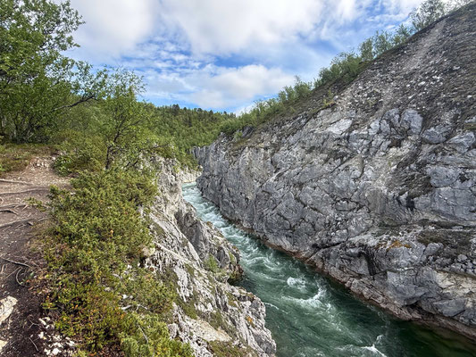
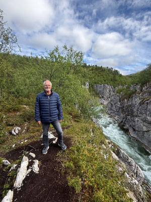
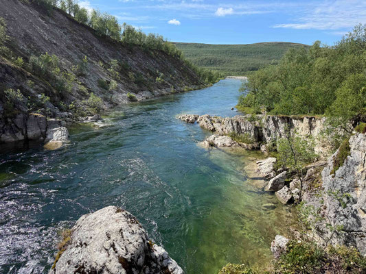
Back on the main route, we continue briskly toward the North Cape. We recommend making a stop at Silvar Canyon—it’s well worth it. From the parking lot, it’s a 15-minute walk to the edge of the canyon, where you’ll be treated to a magnificent view of the gorge and the roaring waters.
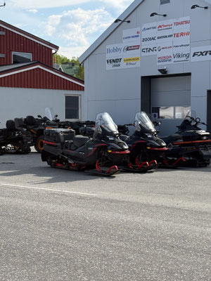
We’re slowly approaching the North Cape, and the number of RVs is increasing significantly. In Honningsvåg, we take a stroll through town, which is relatively short due to the Arctic temperatures hovering around 0 degrees. This is where the cruise ships dock and transport their guests to the North Cape by bus. There happens to be no ship here right now, so the town is correspondingly quiet.
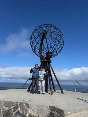
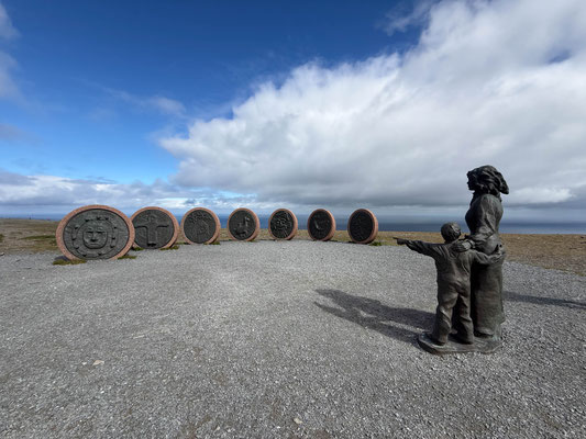
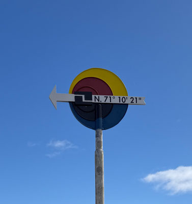
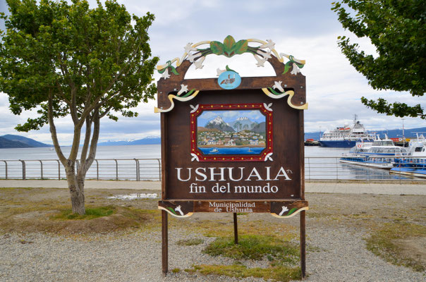
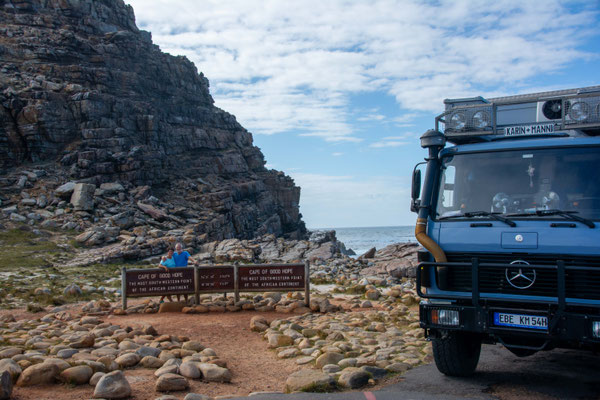
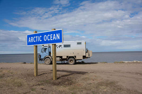
We spend the night in a parking lot 20 km from our destination. In the morning, we wait until around 10 a.m. for the sky to clear before setting out on the final kilometers to the North Cape. The road ends at a large parking lot with space for hundreds of RVs. After visiting the southernmost point of Africa (the Cape of Good Hope), the southernmost point of South America in Ushuaia, and the northernmost point of Canada (Tuktoyaktuk on the Arctic Ocean), we have now reached the northernmost point of Europe in our thirteenth year of travel and after 250,000 kilometers.
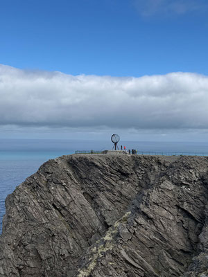
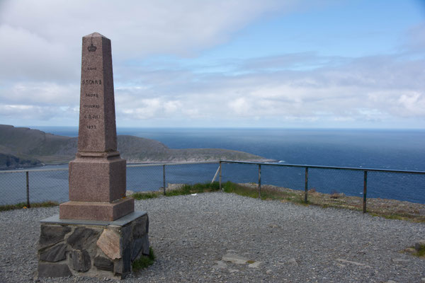
The North Cape is a 307-meter-high, rugged cliff of slate that drops steeply into the Arctic Ocean. The landscape is treeless and characterized by rugged, Arctic tundra. For us, it is the fourth “end of the world” destination we’ve reached with our faithful companion, MOMO.
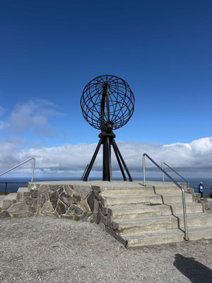
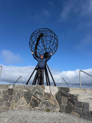
The absolute highlight for a souvenir photo is the large globe monument. It stands right on the edge of the cliff and marks the northernmost point of the European mainland. People usually have to wait in line here until it’s their turn. But we’re in luck. Not only is the sun shining from the almost blue sky, but the tour buses haven’t arrived yet either, so we can take our photos completely undisturbed. Otherwise, the high plateau is very windy and offers a magnificent view of the stormy Arctic Ocean, with nothing but water stretching all the way to the North Pole.
13 years of travel and 250,000 kilometers

Now it's time to head back to the main route and then further on to the archipelago of Southern Norway. As always, you'll find out what we experience there in the next blog post. Until then, enjoy reading and looking at the pictures.
Kommentar schreiben